Batterfly in Putao region
Northern Myanmar is known as one of the most important and biologically diverse regions in Indo-china. The headwaters of major rivers in Myanmar, a transition zone between the tropical Indo-Malaysian fauna and flora from the south and the temperate and alpine Sino-Himalayan fauna and flora form the north are contained in that area. Much of northern extremities of Myanmar is a sparsely populated, little-explored region that is generally referred to as Icy mountains-including the country’s highest peak Mount Hkakaborazi estimated at 5881 m high.
Hkakaborazi National Park is about 3812 sq km (1472 sq miles) and the largest National Park in Myanmar. Situated between north latitude 24’-28’ and east longitude 97’-99’ in Nomung Township of Putao District in the northern of Kachin State. It is bounded by India in the west and buy China in the north and east and the southern boundary is demarcated along the Nam Tami and Tarong rivers. It incorporates 11 villages with a population of 948. It was designated as protected area in January 1996 and as a National Park in October 1998. (Appendix I) A proposal was submitted for upgrading Hkakaborazi National Park to the status of a World Natural Heritage site to the United Nations Educational, Scientific and Cultural Organization (UNESCO). The park is entirely mountainous and is characterized by broad-leaved evergreen rainforest, sub-tropical and temperate, up to 2500-2750m, then broad leaved, semi-deciduous forest, and needle-leaved evergreen forest. Above 3,350m, alpine forest is the highest forest zones.
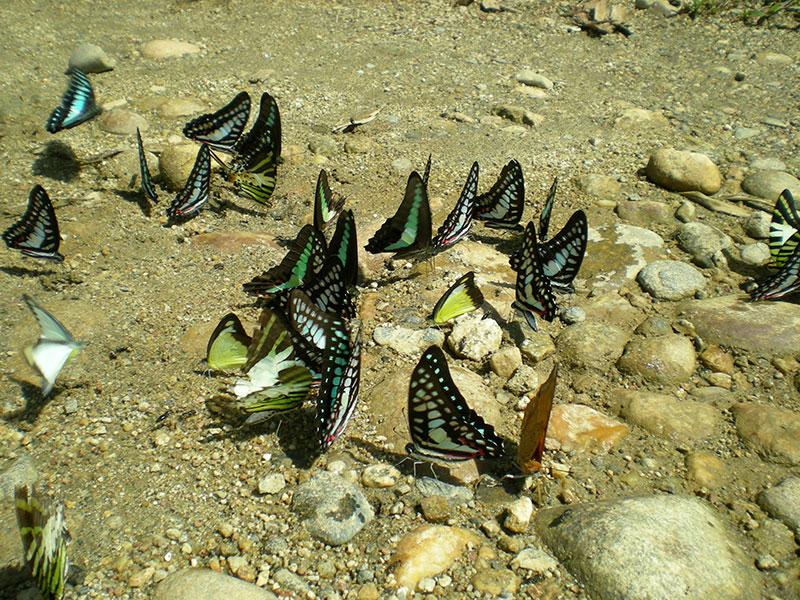
Hkakaborazi region is recognized to be one of the richest areas in the world in terms of biological resources incorporating rare, endangered and unknown and unrecorded flora and fauna. Due to its unique biodiversity, Hkakaborazi region is considered as Asiatic centre of endemic and repository of origin of the angiosperm flora.
Photo Gallery